Measuring Under Bridges
Measuring Under Bridges
Measuring Under Bridges
While driving under bridge overpasses in New Jersey, motorists might notice minimum vertical clearance signs. But have you ever wondered how the clearance of those bridges are measured in the first place?
"Bridge vertical clearance signage is critical to alert drivers to prevent unwanted and avoidable accidents. Utilizing this proposed new technology, experts in the field can accurately and successfully capture the bridge’s vertical clearance, while being safely secured in the vehicle." — John Vrabel, civil and environmental engineering Ph.D. candidate
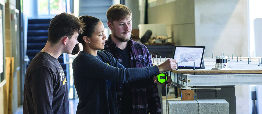
One engineering clinic project, sponsored by the New Jersey Department of Transportation, focused on automating the way these clearances are measured using remote sensing. Typically, measuring vertical clearances requires inspectors to stop traffic and manually measure the space between the road and the bridge—which poses a potential risk to the inspector. Rowan engineers are developing a safer method using cutting-edge technology where an inspector would simply drive under the bridge and remote sensors on the vehicle will measure the clearance.
Not only will this technology prevent road closures and ensure the safety of the inspector, but it will also enable engineers to access clearance information for bridges. This will allow large tractor-trailers to easily avoid routes with bridges they cannot clear, thereby preventing collisions.
The project was led by Adriana Trias Blanco, Ph.D., an assistant professor in the Department of Civil & Environmental Engineering, alongside students Juliana DiVentura, Richard Russo, Keegan Roche, Robert Ruhl, Andrew Mazurek, Thuy Nguyen, Michael Waldron and Mason Kennedy.
The team collaborated with researchers from Rutgers University who worked to build an automated tool where the user can point and click at the space under a bridge and see the dimensions under the bridge. The Rowan team’s contribution was to collect and analyze data to build computational models. First, the team visited 12 bridges along Routes 70 and 73 in southern New Jersey and drove under the bridge with a mobile LiDAR sensor to capture the entire geometry of the structure without needing to stop. The bridges the team analyzed were fairly old and the road beneath had been recently paved so the new clearance was unknown.
Then, each student was assigned a bridge whose data they processed and analyzed manually. Students created cross-sections and different views of the area beneath their assigned bridge to measure the dimensions.
If the clearance was below 14 ft. 6 in. for county roads and 14 ft. 9 in. for state roads, the bridge needed to post signage indicating as much. A handful of the bridges students analyzed did fall under the required dimensions.
Students had the opportunity to work directly with this cutting-edge technology to collect data, providing unique insight into a slightly lesser-known aspect of civil engineering: bridge engineering. Their work will be summarized and disclosed back to the NJDOT in a final project report.
The hope is future teams of student engineers can analyze more bridges in the state.